Well, that was good while it lasted.
It was nearly getting too warm there, if we’re being honest with ourselves. And, just like that…
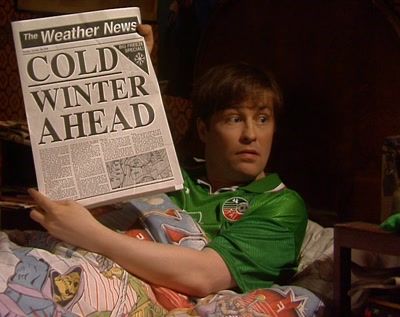
Temperatures could more than half by Wednesday and Thursday with the dry and sunny weather the country has gotten used to this week set to give way for a wet and cooler climate.
According to MET Éireann, things will remain settled through Monday before the badness starts coming over the horizon. Well, they didn’t say that exactly, here’s what they did say:
Tuesday: An unsettled day as a band of persistent rain will move into western areas early in the morning, spreading eastwards during the afternoon and clearing to showers in the west in the evening.
Wednesday: A cool and unsettled day which will start largely dry and bright for much of the country but cloud increasing in the west will extend across the country with widespread rain and showers.
Beyond Wednesday, temperatures will drop below the average for this time of year.
On Thursday, the cold is set to dramatically set in with changes to the pressure that are expected to give the island an early taste of winter.
“Despite only being in the final week of September you might be forgiven for thinking that next weeks weather is rather more winter like than autumnal,” said Cathal Nolan of Ireland’s Weather Channel.
“A cold blast of polar maritime air will sink southwards across Ireland follow a deepening low pressure system on Wednesday and Thursday with temperatures really falling away dramatically.
“Certainly the cold weather will result in some early season snowfall across the highlands of Scotland, with a very small risk of a dusting of snow overnight on Thursday or Friday night on the very highest peaks of the Mourne Mountains or the Hills of Donegal above 650 metres.”
That’s what 2020 was missing. An early winter.
